
Expanded Vareth atlas
Sapient people · western and northwestern VarethKhoruun Highlands
What is worth building should be built to endure.
Stone foundations, sloped snow roofs, drainage, courtyards, terracing, cliff switchbacks, rope lifts, fitted stone, reservoirs, waterways, heavy timber, ancestral halls, granaries, workshops, and defensive works make Khoruun civilization feel like geology and civic life negotiated a settlement.
Settlements of Khoruun Highlands
Six places. No single template.
Each settlement answers its terrain, labor, history, and civic responsibilities differently.
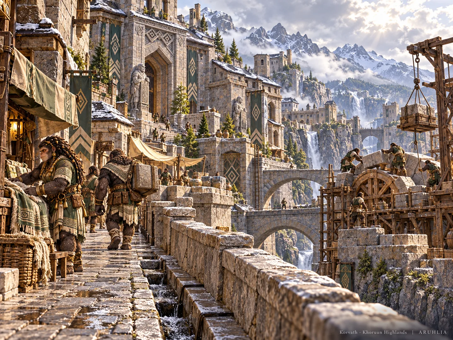
Korvath
Ancient High-Stone city of bridges, archives, masonry schools, and monumental engineering; respected widely, but not ruler of every clan.

Thurakai
Fortress settlement guarding a narrow pass through caravan protection, mining, and military engineering.

Belukar
Fertile River-Valley city of terraces, mills, fisheries, breweries, granaries, and irrigation.

Namaru
River-confluence trade town of markets, boats, smiths, freight, and internal distribution.
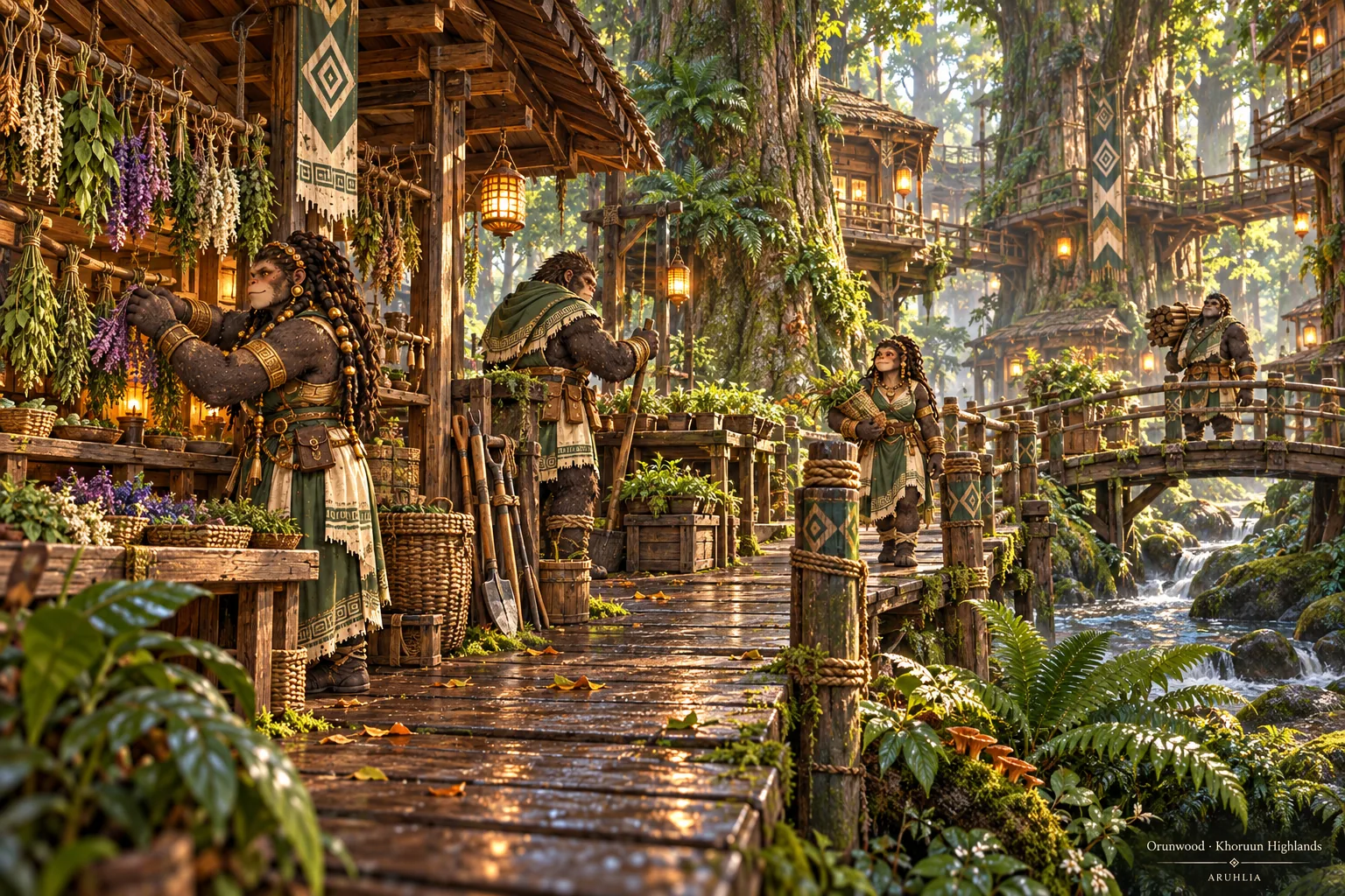
Orunwood
Deep-Forest settlement woven into enormous trees, known for herbalists, foresters, beast lore, and guides.
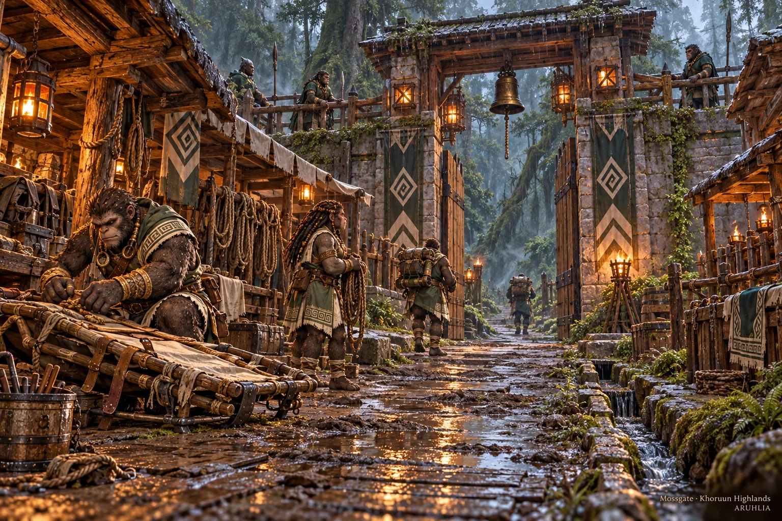
Mossgate
Frontier settlement nearest the Verdant Shatter, maintaining scouts, warning systems, fortified forest roads, and wilderness rescue.
Regional ecology
Five connected highland ecologies
The Khoruun Highlands are a northwestern mountain region with western coastal exposure, the Frost March to the north, the Heartlands to the east, and southern transitions toward the Western Marches and Blackfen. The working map establishes relationships, not surveyed coordinates or road mileage.
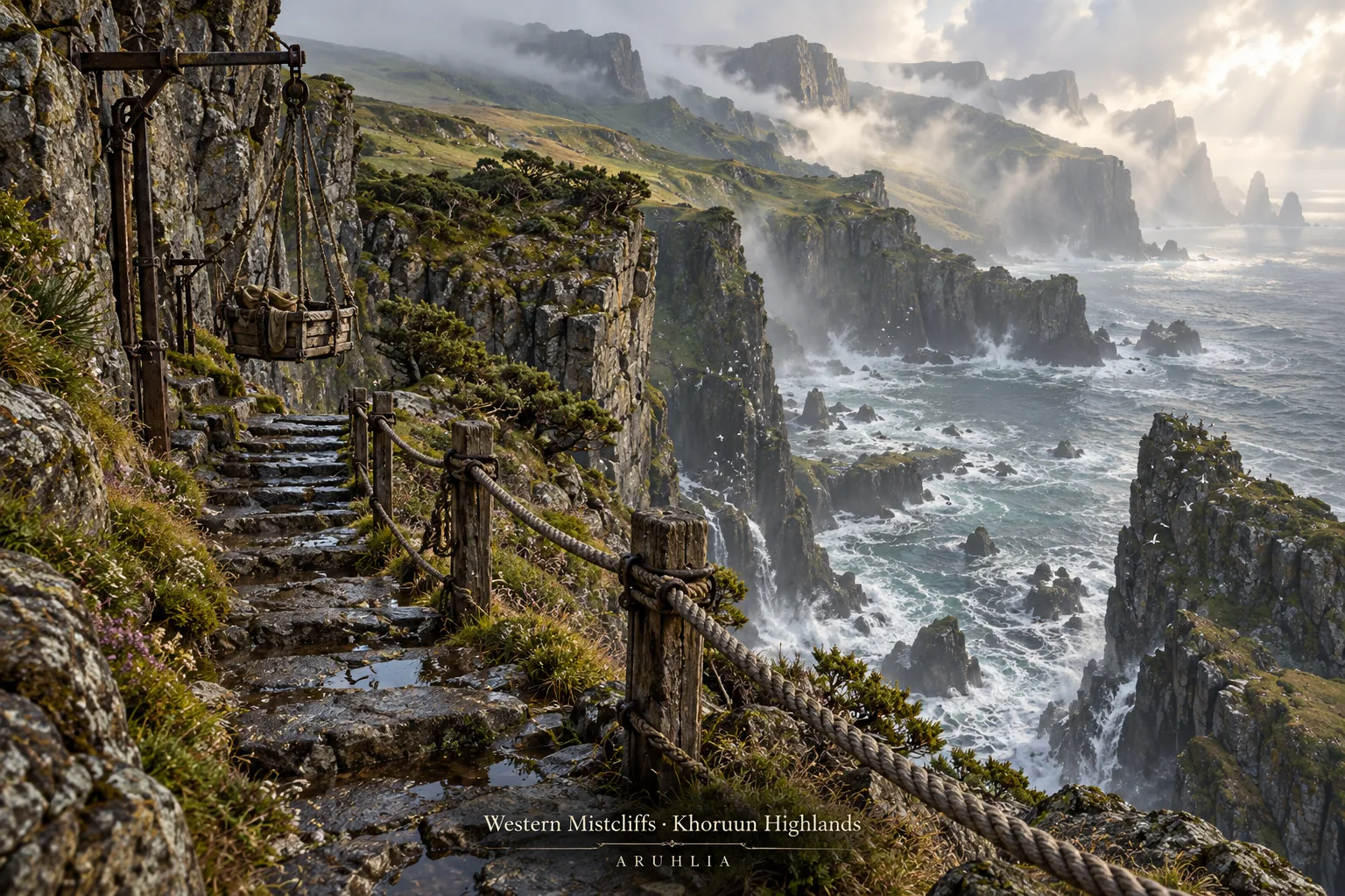
Western Mistcliffs
Coastal escarpments, seabirds, ravines, rope work, and protected-inlet exchange shaped by wetter western weather.
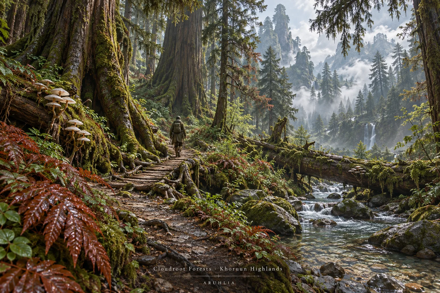
Cloudroot Forests
Wet moss-and-fern mountain forest where old-growth stewardship, timber, fungi, and forage need careful use.
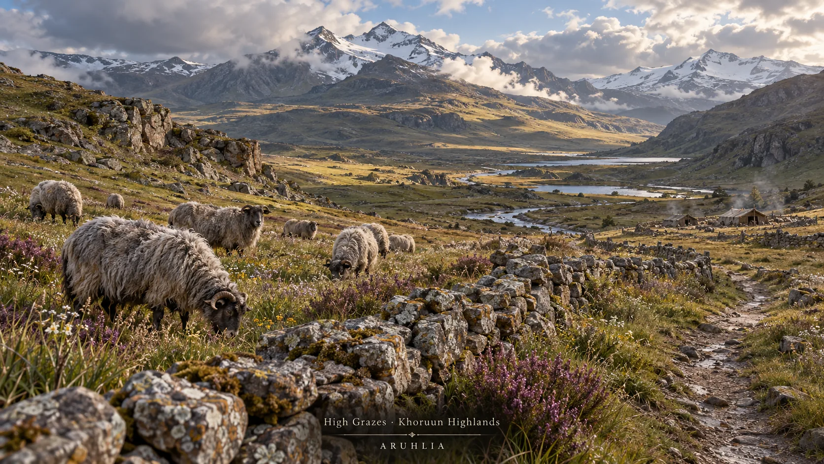
High Grazes
Windy upland pasture country, seasonal herds, leatherwork, and the annual descent before harsh weather.
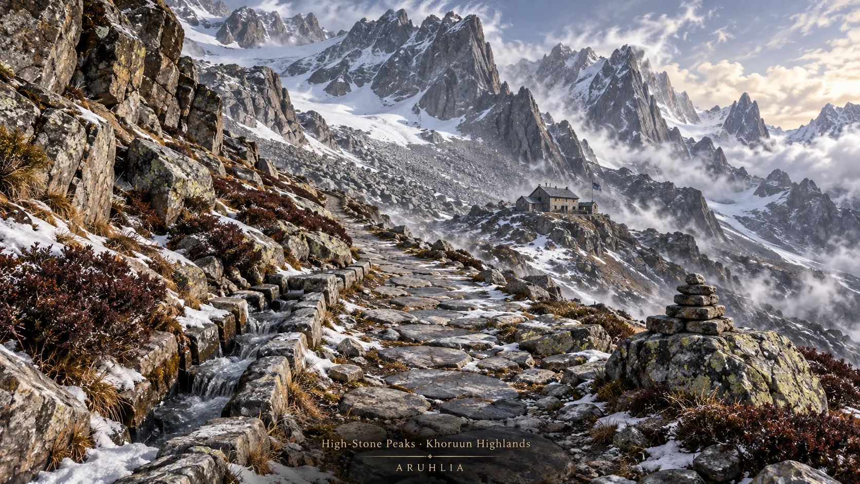
High-Stone Peaks
Exposed alpine ridges, snow, quarries, passes, and the patient work of keeping people moving safely.
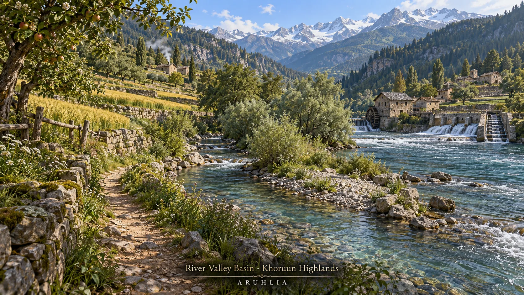
River-Valley Basin
Waterways, terraces, orchards, milling, fishing, and year-round population tied to the region's food and trade.
Seasonal living world
Routes change with the land.
Spring snowmelt and flood give way to summer pastures and storms, autumn harvest and herd descent, then winter high-pass closures and lower-valley trade. These are regional patterns, not a promise of a specific road condition on a specific date.
Silverroot Barley, Stoneleaf Heather, Cloudcap Mushroom, Ironbark Fir, Bluebell Moss, Hearthberry Shrub, Frostlace Lichen, Redvein Fern, and Skyroot Flower support an ecology and economy of wool, leather, stone, metal craft, timber, grain, food, ropes, climbing, bridges, and trade. Individual new creature cards and unverified settlement placements remain out of the public directory until their validation is complete.
Explore the public Atlas record →Continental placement
An additive expansion.
The Khoruun Highlands joins Vareth without overwriting the Heartlands, Blackfen, Verdant Shatter, Redwild, Ember Plains, Stormspine, Cinderfall Caldera, or any other established region. The Verdant Shatter remains a neighboring hazard zone—not the cradle homeland of either people.
Return to the world map →